Introduction
Welcome to the help library for the Map Publisher Desktop for map authors and GIS professionals. Map Publisher Desktop allows users to author and publish maps and data on the Intranet / Internet fast and easily directly from your dekstop. This help system focuses primarily on using Map Publisher Desktop to discover, prepare and disseminate geospatial data via industry standard protocols and formats.
If you're new to Map Publisher Professional and Map Publisher Desktop, you can start learning about the application now by reading the topics in the Application Overview.
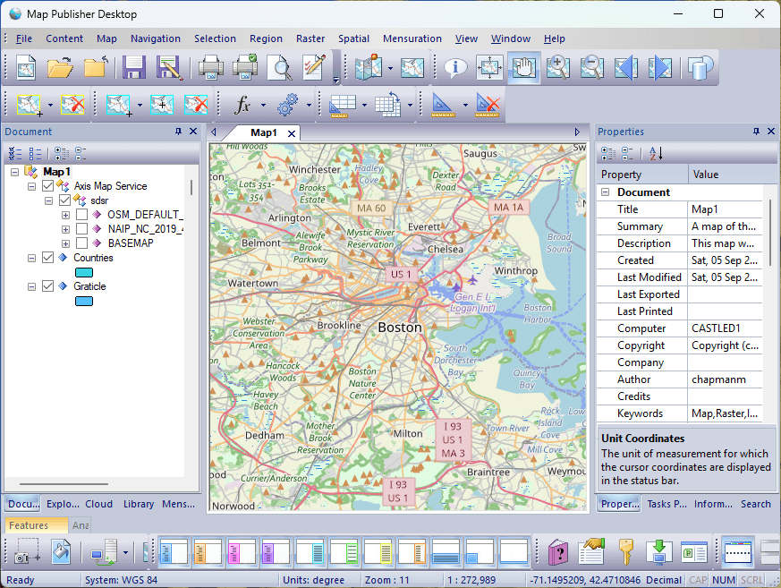
Using this Help
There are a number of ways to explore the information contained in this User Guide, depending on where you are and what you are looking for. The four major areas are:
- Application Overview
Start here if you want to learn about what the product does and what features it contains. - Desktop Application
Read here if you want to know how to use the desktop product or to find out what a dialog, control or menu does. - Server Applications
Read here if you want to learn about the server components and how to use them with Map Publisher Desktop. - How To
Read here if you want to learn how to use Map Publisher Desktop for specific geospatial data authoring and publishing workflows.
Licensing
Map Publisher Desktop is feature of Map Publisher Professional and requires one license per installation.
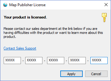
- You can purchase Map Publisher Professional on our Web Site:
https://lcic.xyz/software/purchase - Read more about licensing Map Publisher Professional:
- https://lcic.xyz/software/purchase
Contact Information
- Map Publisher Professional Website
https://lcic.xyz/products/software/map-publisher-desktop - Support Forums
https://www.lcic.xyz/products/axis/forums - Support Email
support@lcic.xyz
Documentation is published by LCIC with the Axis release and imported here in full. Screenshots and wording are the vendor's own.