Flyers
Printed sheets, published here.
The flyers we hand out and post, as PDFs sized for US Letter. Read one in the browser, download it, or pass the link on.
-
ATAK · WinTAK · iTAK
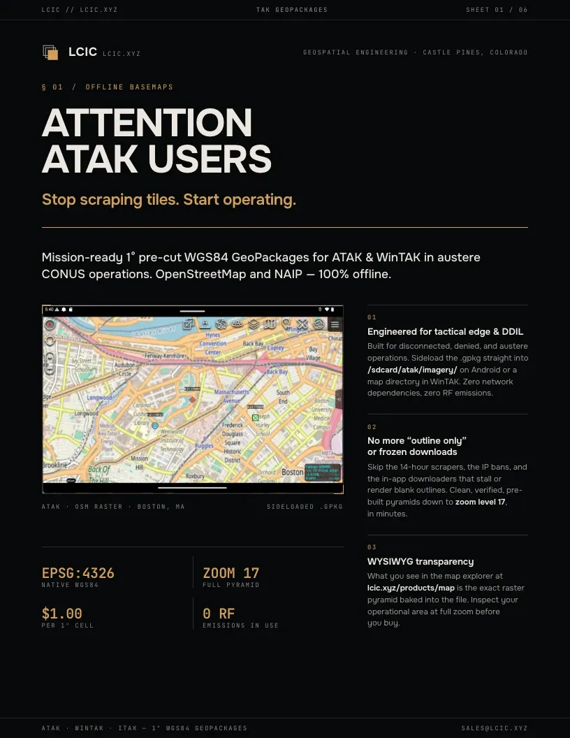
Offline basemaps for ATAK and WinTAK
Pre-cut one-degree WGS84 GeoPackages of OpenStreetMap and NAIP imagery, sideloaded and used with no network. Covers the terrain imagery, choosing cells on the map explorer, streaming the same data with Axis WMS, and cutting your own with Axis Map Publisher Pro.
-
ATAK · WinTAK · QGIS · ArcGIS Pro
Tactical Edge Geospatial Server
The Axis Personal Map Server serving OGC WMS, WMTS, XYZ and KML at the edge, with no cloud backhaul. Covers DDIL and MANET operation, adding the endpoint from the TAK clients’ own dialogs, the standards and modalities it serves, authoring maps in the field, and deploying standalone or under Microsoft IIS.